Track Visualiser
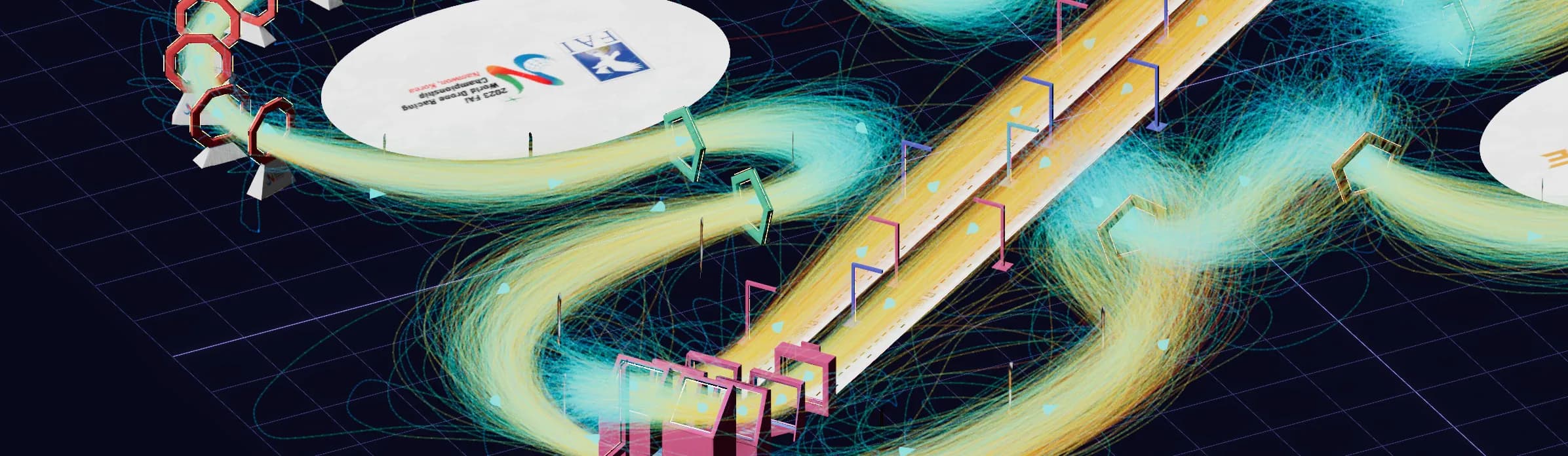
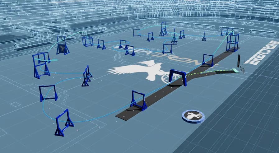
Organisers build real drone racing tracks in EreaDrone and share them in an embeddable 3D viewer. You open it in a browser or on a phone, explore the layout, replay the fastest runs in FPV and see where each pilot flew.
- Client
- EreaDrone, drone & e-drone event organisers
- Year
- Ongoing
- Our role
- Web 3D product
- Services
- Web 3D & interactive viewers, Real-time 3D & simulation
The challenge
At real-world events, many pilots see the track for the first time on race day, and spectators struggle to follow it. Organisers needed to share the exact layout ahead of time, with anyone, with nothing to install.
What we did
- The viewer runs in the browser, on phones and inside EreaDrone, and anyone can open it for free, with no EreaDrone licence.
- Organisers build the track in 3D inside EreaDrone and publish it online in one step, then update it as their crew builds the real track.
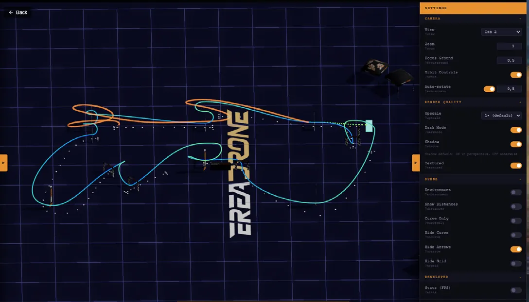
- Organisers embed the viewer on their own site, where visitors orbit the circuit, follow the racing line and inspect each obstacle.
- You pick the display mode: perspective or top-down, a simplified view for readability, or textured elements for high-quality renders and sponsor visibility.
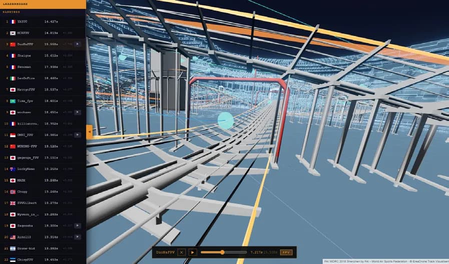
- Pilots and coaches watch replays from the simulator's leaderboards from any angle or in FPV, analyse a run gate by gate and study the lines of the best pilots.
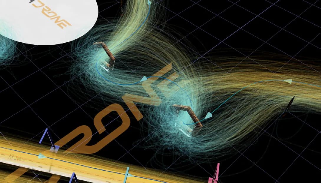
- Heatmaps of the fastest racing lines and of all recorded flights show track designers and pilots how the field tackles each element.
The outcome
Competitors learn the layout from a single link before they fly it. At the 2026 Ningbo World Cup, a top pilot found a faster U-turn, and other pilots picked it up from the replays.